
Tourist kit
Entdecken Sie Cles mit einem Stadtplan, einer Anstecknadel und weiteren netten Kleinigkeiten, die im Touristen-Set enthalten sind!

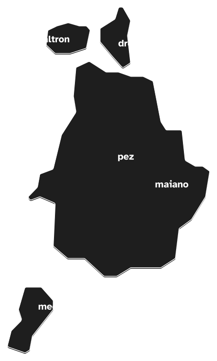
Pez, Dres, Maiano, Caltron, and Mechel ... and then Prato, Spinazzeda, and Lanza; these are the historic suburbs and districts of the town of Cles. Each with a historical centre and its own distinguishing features, identity, and traditions”.

Today the town centre is articulated between Piazza Navarrino, Corso Dante, and Via Roma, which vertically split up the town as they lead towards Piazza Cesare Battisti, the central Piazza Granda, and Piazzetta de Bertolini. In the early 1800s Cles retained its basic Medieval layout, adapted to the modern age.
Find out more
Mechel has an important history linking the town back to extremely ancient origins, originally much lower down in the valley, almost on the shore of the ancient lake of Santo Spirit.
Find out more
San Vito is too small to be considered a suburb, but it is nevertheless interesting and unusual.
Find out more
Arriving from Cles you descended into the little valley of Rio Dres and after crossing the waterway you can climb back up to the village and continue on towards Val di Sole, going through Faè and traversing round the Mostizzolo canyon to reach Ponte Stori, where you can finally cross the Noce River at the most favourable point.
Find out more
The medieval village of Calton lies on the far side of the Rio Dres valley, in the middle of gentle slopes rising up to the steeper mountainside.
Find out more
This small settlement is on the ancient road arriving from Rolla and Ponte Alto, leading on towards the fortifications of Castel Cles, also connecting to the road from Piazza Granda to Val di Sole.
Find out more
Lanza is the newest district extending towards the south beyond the little valley of Rio Ribòsc.
Find out more
The settlement of Pez (attested in 1356 as “Dosso di Pezo”, meaning "Spruce Tree Hill" in the local dialect) lies along the road arriving from Rallo and Ponte Alto up to the foot of the small Dosso di Pezo hill, in a very sunny position.
Find out more
Prato (which means "field", for the flat local landscape that was once used for cultivation and grazing) is the area alongside the northern shore of the old lake, in an especially advantageous position for catching the sun and the flat terrain.
Find out more
Spinazzeda (from "spina" which means "thorn" and refers to the thorny bushes that proliferated along the edges of the marshy area lower down) is on the road from Mechel, Via Traversara, ultimately connecting with Rocchetta and the cross-roads of Piazza Granda.
Find out more

Entdecken Sie Cles mit einem Stadtplan, einer Anstecknadel und weiteren netten Kleinigkeiten, die im Touristen-Set enthalten sind!
Message sent correctly
